Satellites build the smoke layer from above, so they catch smoke at every height. Ground monitors build your AQI number at breathing level. With the 2026 United States wildfires pushing smoke across state lines for weeks at a time, knowing which reading to act on keeps your plans on track and your household protected.
TL;DR Quick Answers
current wildfire smoke map USA today
The fastest current wildfire smoke map for the USA today is the AirNow Fire and Smoke Map, which puts live fires, NOAA satellite smoke plumes, and ground-level AQI on one screen. Read the gray plumes as smoke anywhere overhead, and let your nearest monitor’s color make the health call.
Fire Icons: Large fire incidents reported by the National Interagency Fire Center, plus satellite heat detections.
Smoke Plumes: NOAA analysts trace them from satellite images about twice a day and label each one light, medium, or heavy.
AQI Circles: PM2.5 readings at breathing height, updated through the day. This is the layer to base outdoor plans on.
Smoke Aloft Check: A gray plume over a green reading usually means smoke is riding high. Check again in the afternoon, when it can mix down.
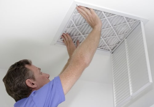
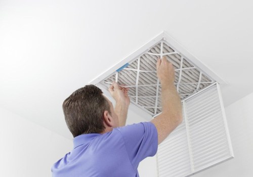
Indoor Backup: Once the trend arrow climbs, shut the windows, switch the thermostat fan to “On,” and run a MERV 13 filter.
Top Takeaways
Plumes cover the whole sky. Satellite shading includes smoke at any height, often far above breathing level.
The AQI covers your air. Ground monitors measure PM2.5 where you live, so let that number drive health decisions.
Timing explains plenty of gaps. Plume analyses post a couple of times a day, while monitors update hourly.
Afternoons can change the picture. Daytime mixing can pull high smoke down to street level.
Indoor prep pays off early. A MERV 8 filter, closed windows, and a running fan protect your home before readings climb.
Two Tools Reading Two Different Layers of Air
NOAA's Hazard Mapping System supplies the gray shading on most U.S. smoke maps. Trained analysts trace smoke on GOES satellite images and label each plume light, medium, or heavy. That label describes how thick the smoke looks from orbit, looking down through the whole column of air, and it can't tell you whether the plume sits 200 feet or 15,000 feet over your roof.
Your AQI starts somewhere else. Ground monitors and corrected low-cost sensors sample outdoor air and measure PM2.5, the fine particles too small to see, right where your family lives. The AirNow Fire and Smoke Map shows both layers on one screen, and its own user guide admits a plume only confirms smoke is present. That smoke may be high in the air instead of at ground level. While monitoring outdoor conditions, homeowners considering HVAC ionizer installation should also evaluate indoor air filtration options to help manage airborne particles during wildfire smoke events.
Five Reasons the Smoke Map and Your AQI Disagree
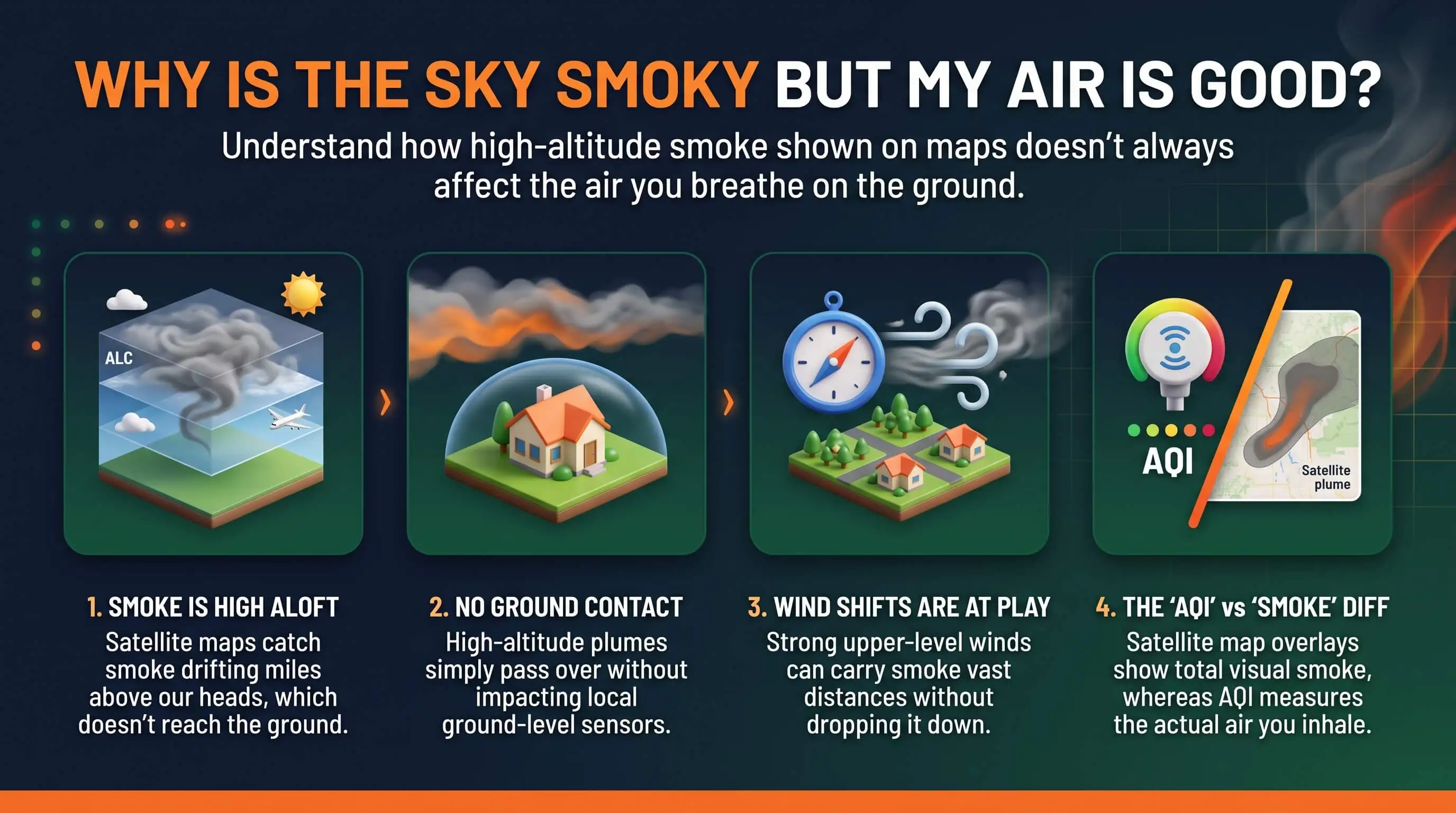
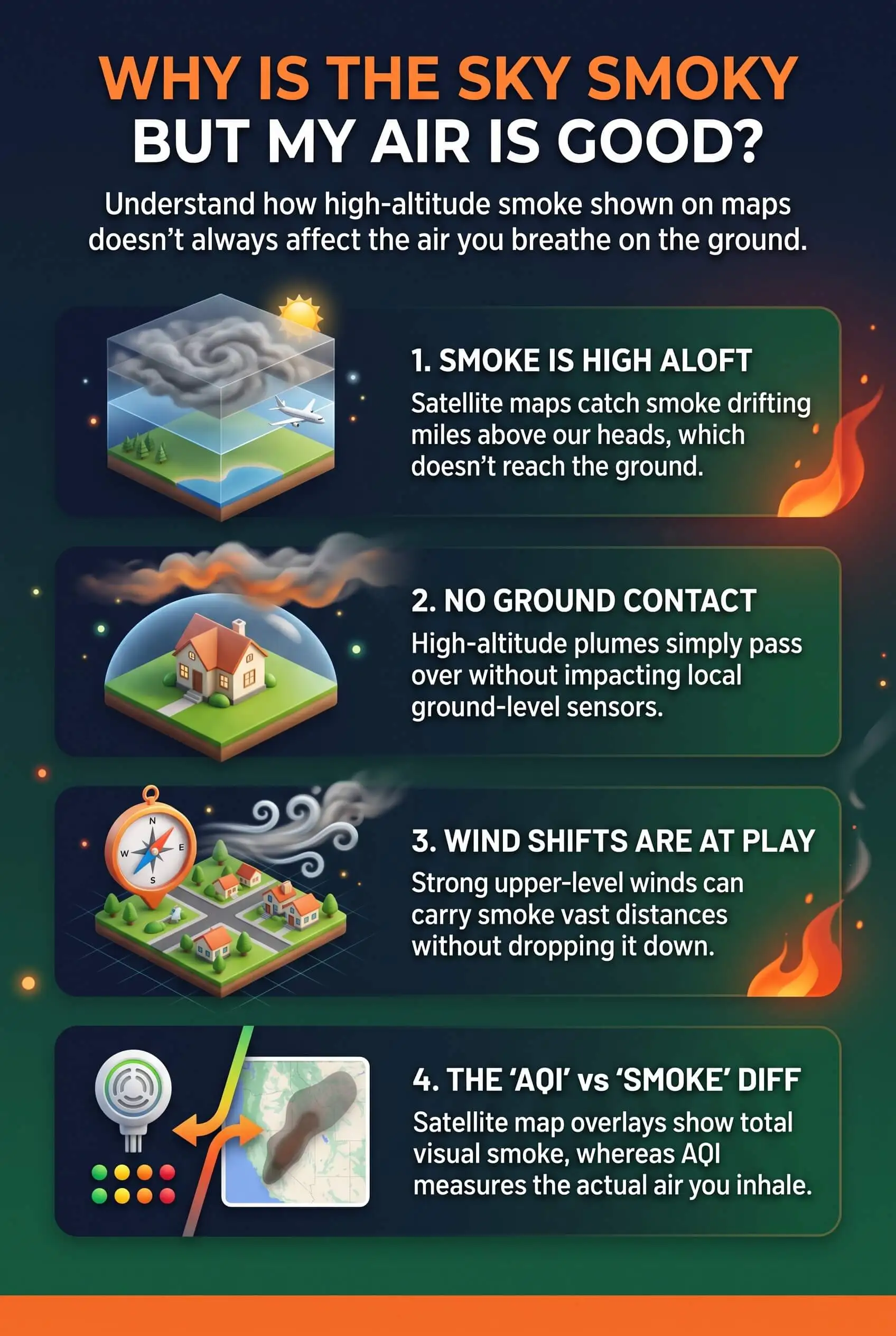
Smoke rides high. Smoke that travels hundreds of miles often moves thousands of feet up. A study in the International Journal of Wildland Fire found that outside the western U.S. and Alaska, ground-level smoke particles inside satellite plumes stayed low and barely shifted between light and heavy shading, which points to smoke that mostly stayed aloft.
Inversions work like a lid. When a warm layer of air settles over cooler air, it can hold smoke above you. Reverse that setup and the same lid traps smoke at street level.
The plume layer runs on a slower clock. NOAA analysts work from daytime imagery and usually post the first smoke analysis around late morning Eastern time, then a second in the evening. Monitors report every hour.
Analysts draw plume edges by hand. Those outlines are close approximations, so shading can spill past the spots where smoke ever touched the ground.
NowCast averaging lags behind. AirNow reports AQI as a NowCast, which weights the latest hours more heavily when air changes fast. Even so, it can trail an arriving or clearing plume by a few hours.
When Smoke Overhead Reaches the Air You Breathe
Smoke aloft doesn't always stay aloft. Afternoon sun heats the ground, the air starts mixing, and a high plume can sink to breathing height. NOAA's HRRR-Smoke model splits its forecast in two, with near-surface smoke covering roughly the bottom 26 feet and vertically integrated smoke counting everything overhead. Once the near-surface forecast fills in over your town, take it seriously.
These signs tell me smoke is coming down:
Distant hills or buildings fade from view.
You smell smoke, outdoors or in.
The trend arrow on your nearest monitor turns upward.
The near-surface forecast shades your area over the next 24 to 48 hours.
How I Check Both Layers Before I Change My Plans
My check takes about two minutes. I open a live smoke map to see where fires and plumes sit, then tap the monitor closest to my street for its AQI and trend. If smoke hangs overhead and the reading stays green, I carry on and look again after lunch, because that's when mixing tends to pull smoke down. Past 100, outdoor plans move inside.
Don't take your indoor air for granted on gray-map days, even with a clean reading! Smoke particles are invisible, and they work their way indoors through gaps around doors and windows. Here's the setup I keep ready. It's also a good idea to test indoor air quality to check for fine particles that may have entered your home during wildfire smoke events.
A spare filter on the shelf: A MERV 13 filter or the highest rating my system can handle, since fine smoke particles slip past basic filters.
A sealed house: Windows shut and the fresh-air intake closed once the trend turns upward.
A running fan: The thermostat fan switched to "On" so air keeps cycling through the filter.
A backup room cleaner: A newer, certified box fan with a MERV 13 filter attached, parked in the room I use most.
That small kit turns a confusing map into a practical plan, helping you prepare when wildfire smoke reaches ground level. Keeping one of the top air filters for capturing fine smoke particles on hand can also help maintain cleaner indoor air when outdoor conditions worsen.
"I've spent years lining up satellite smoke plumes against ground monitors during fire season. More than once, heavy gray shading sat over a city for two days while readings held green, and then the AQI jumped past 150 within an hour of afternoon mixing. Watch the plume to know smoke is nearby, and trust the monitor to tell you when it has reached breathing height."
7 Essential Resources
Current Wildfire Smoke Map for the USA Today: Compare live fire points, satellite smoke plumes, and a separate AQI layer side by side, with indoor smoke tips below the map.
AirNow Fire and Smoke Map: Getting Started: The official walkthrough of monitors, sensors, trend icons, and the limits of the plume layer.
NOAA Hazard Mapping System Fire and Smoke Product: See where satellite smoke plumes come from, how analysts classify them, and when updates post.
NASA Earth Observatory: Which Way Will the Smoke Go?: A plain-language look at near-surface versus vertically integrated smoke forecasts.
National Weather Service Fire Weather: Red flag warnings, fire weather outlooks, and links to current large incidents.
CDC: Wildfires and Your Safety: Who faces the most risk from smoke, and how to protect them before, during, and after a fire.
American Lung Association: Wildfires: Practical steps for clean rooms, masks, kids, and anyone living with lung disease.
3 Supporting Statistics
Through October 14, 2026, wildfires burned more than 9 million U.S. acres across 64,393 fires, running at 132% of the 10-year average fire count and 143% of average acreage. National Interagency Fire Center: National Fire News
Asthma-related emergency department visits ran 17% above expected across 19 days of wildfire smoke in 2023. CDC Morbidity and Mortality Weekly Report via PubMed Central
EPA researchers found that a cardboard shroud raised a box fan air cleaner's smoke removal rate by 40%, and a single 4-inch MERV 13 filter raised it by 123%. EPA: Research on DIY Air Cleaners to Reduce Wildfire Smoke Indoors
Final Thoughts and Opinion
Here's my honest opinion: a gray map over a green AQI is a heads-up worth taking. I read the plume as smoke in my region and the monitor as the word on whether it has reached my lungs, so one gets me ready and the other gets me moving. Smoke floating overhead at breakfast can be in the living room by late afternoon. Getting ready while the air is still clean costs a two-minute check and one spare filter, and that small habit keeps you in control instead of scrambling once the haze rolls in. Understanding the types of air filters available can also help you choose the right option for capturing fine wildfire smoke particles.
Frequently Asked Questions
Is It Safe to Go Outside if the Smoke Map Shows Smoke but the AQI Is Good?
For most people, yes, as long as your nearest monitor stays green or yellow. Glance at the trend arrow before a long run or a yard project, and check again in the afternoon, when smoke tends to mix down.
Why Does the Sky Look Hazy When the AQI Is Green?
Smoke high in the atmosphere scatters sunlight and dims the sky without reaching ground-level air. That same high smoke is why sunsets glow orange on days with clean readings.
How Often Does the Wildfire Smoke Map Update?
Monitors and fire detections refresh through the day. NOAA usually posts satellite smoke plumes twice daily, once in late morning and again in the evening, Eastern time.
Can High-Altitude Smoke Come Down to Ground Level?
Yes. Afternoon heating, a wind shift, or a passing front can drag smoke from aloft to breathing height, sometimes inside an hour.
Which Should I Trust, the Smoke Map or the AQI?
Let the AQI make your health calls and use the smoke map for awareness. The map warns you that smoke is nearby, while the monitor reports what you're breathing right now. Use these readings to know when to close windows, improve indoor filtration, and take steps to keep wildfire smoke out of your home.
Read Both Layers Before the Smoke Comes Down
Use the gray plumes to see what's moving overhead and the monitor nearest your home to see what you're actually breathing, then let that pair guide your day. Make a high-efficiency filter, closed windows, and a running fan part of your routine so your indoor air stays covered whenever the sky changes.